

Landsat 8
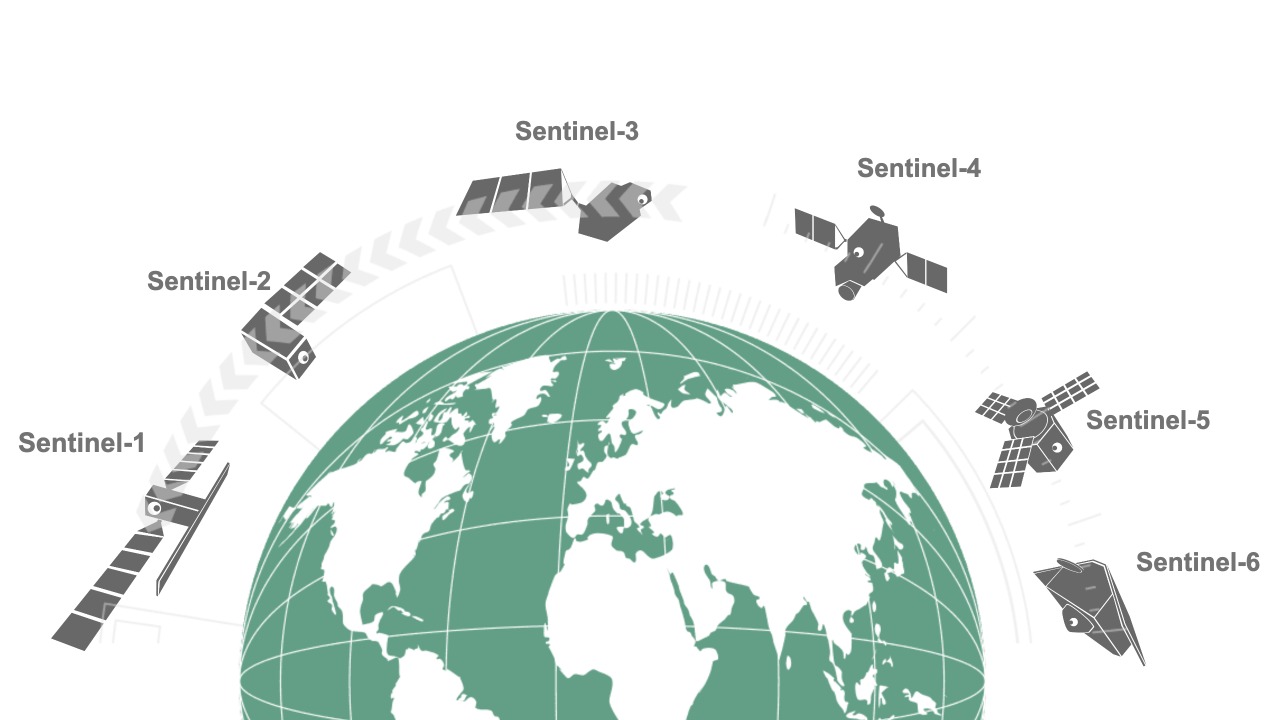
Sentinel-6

Sentinel-5

Sentinel-4
Sentinel-3

Sentinel-2

Sentinel-1


Pixstart promotes an offer accessible for all by prioritizing the use of open-data. In the case of satellite data, we use in particular the satellites of the European Copernicus program and the US Landsat program. For the specific needs of certain customers, we supplement our services with so-called commercial data such as very high resolution satellite data (Pléiades, Worldview, etc.).
PIXSTART SERVICES
ACCULTURATION

If you are told satellite data and you only think
“Enemy of the State” (film directed by Tony Scott)
and Google Earth Ⓒ, so it’s time to acculturate to
everything that earth observation by satellite
can provide you with information about
your own business processes.
Pixstart thus offers you acculturation sessions
individually or in groups.
We can take the opportunity to brainstorm
around of a use case adapted to your business.
PRODUCT SUBSCRIPTION

You understand how to use satellite data,
and for you there is no doubt that
it brings you value.
Surely Pixstart has already implemented
a product adapted to your business
allowing you to benefit a lot of reliable
data and updated regularly.
Do not hesitate to view the list of our
products and contact us to take advantage
one of our annual services.
.
TERRITORIAL ASSESSMENTS

You need more complete information
mixing satellite data, in-situ data, land or
public data and which allows an important
temporal analysis.
We offer territorial assessments integrating
know-how in statistics and environmental science
(ecosystems) using a history of more than
5 years data anywhere in the world.
.
.
OUR TECHNIQUE
We calculate, by artificial intelligence distributed on the cloud, the relevant information adapted to each of your trades allowing you to decide and act on the ground. Our solutions complement in-situ measurement data with satellite tracking data and quantitative cartographic information.
