Surveillez l’évolution de vos environnements !
Le changement climatique, associé aux activités humaines, place notre environnement sous une pression accrue avec des répercussions économiques et sanitaires importantes. Face à ces défis environnementaux, Pixstart offre auprès des acteurs privés et publics des solutions innovantes pour mieux gérer et surveiller l’écologie de nos territoires.
Surveillez les ressources naturelles et vos infrastructures d’exploitation, réalisez un diagnostic environnemental complet sur vos sites, profitez de nos conseils sur les actions à mener et mesurez le bon retour à l’état écologique de votre territoire. Nos outils vous aident à identifier et à ajuster les meilleures pratiques pour soutenir et améliorer votre écosystème.

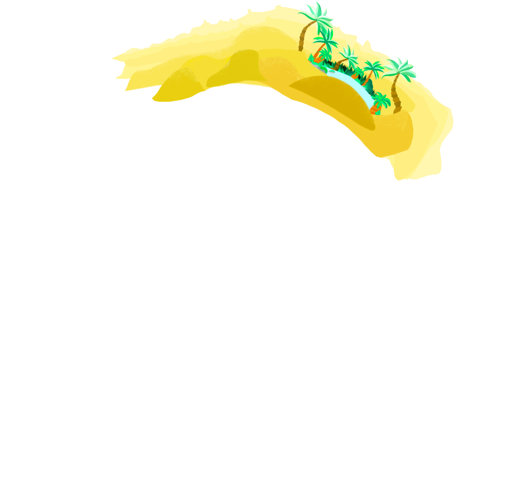
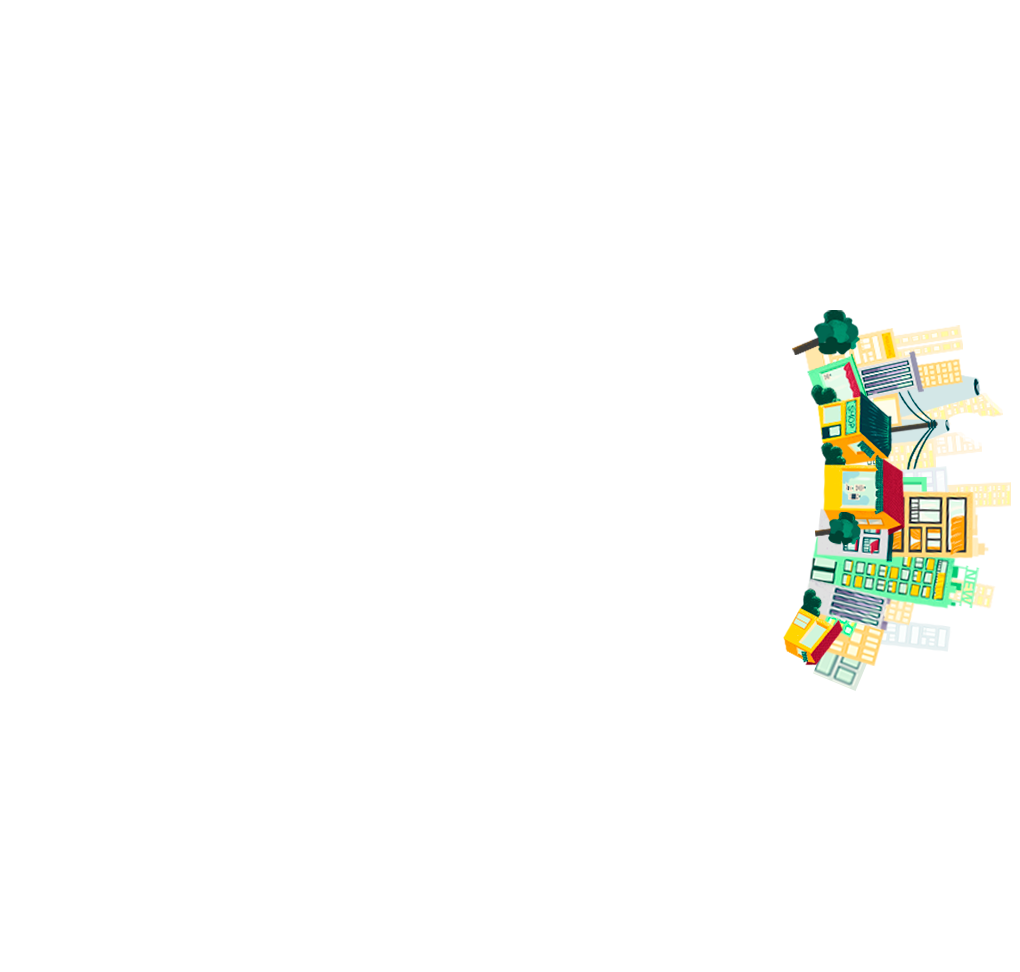
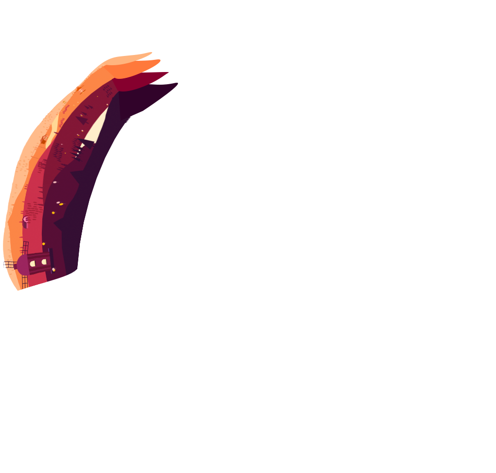


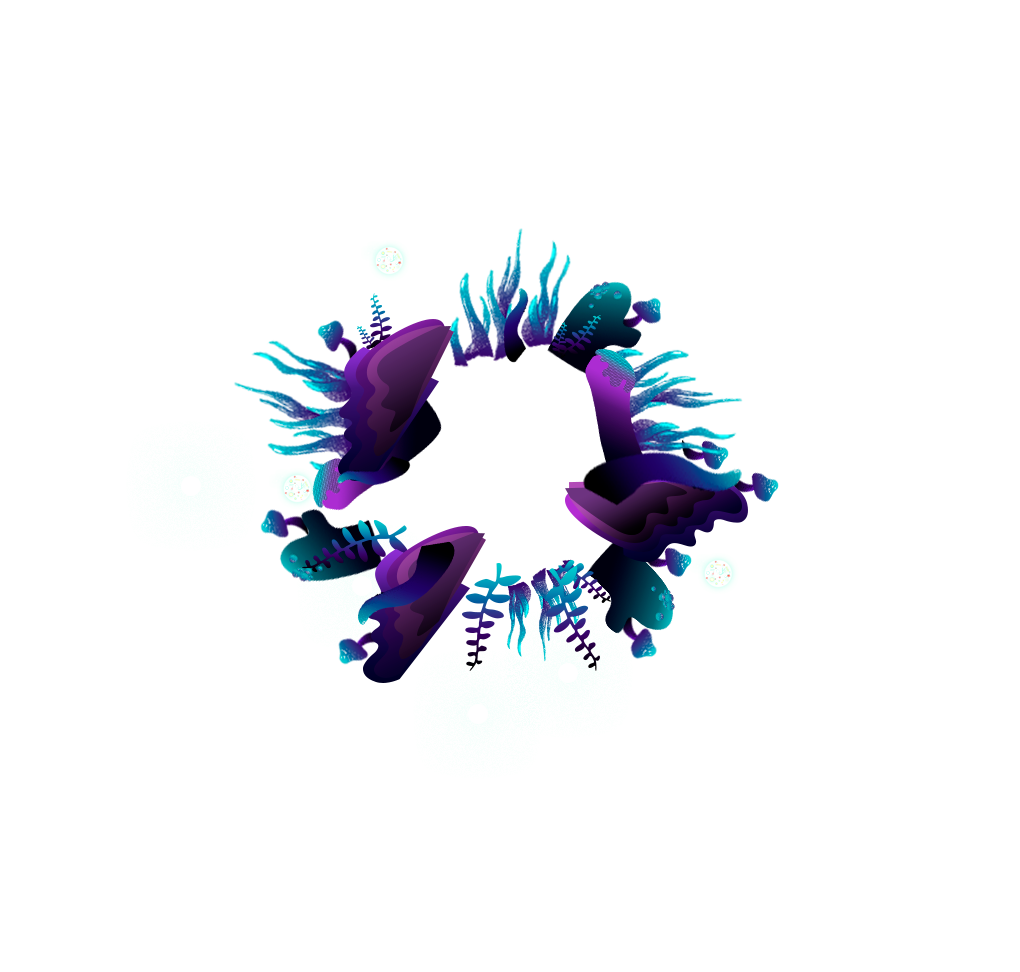

Découvrez nos différentes solutions !
Choisissez sur la planète ci-dessus le milieu
que vous souhaitez évaluer !


