
Monitor the evolution of your environments !
Climate change, associated with human activities, places our environment under increased pressure with significant economic and health repercussions. Faced with these environmental challenges, Pixstart offers private and public actors innovative solutions to better manage and monitor the ecology of our territories.
Monitor natural resources and your operating infrastructure, carry out a complete environmental diagnosis on your sites, take advantage of our advice on the actions to be taken and measure the good return to the ecological state of your territory. Our tools help you identify and adjust best practices to support and improve your ecosystem.
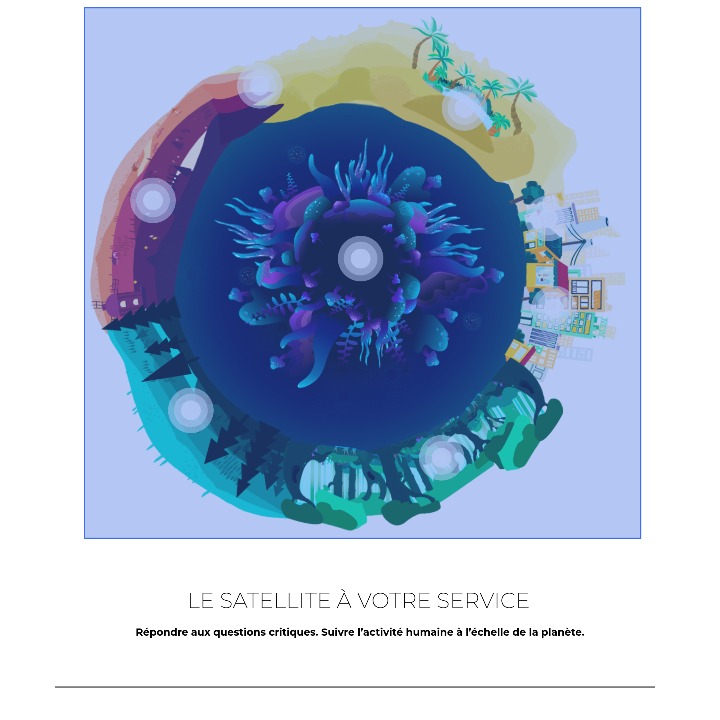


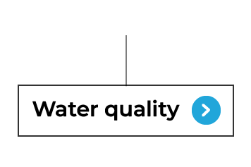
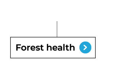
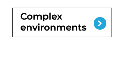
Discover our different solutions !
Choose on the planet above the middle
that you wish to evaluate !


